
We can be more effective conserving our lakes when we’re well-informed. Understanding the threats facing lakes, the trends in lakes’ conditions, and how they compare with similar nearby lakes can guide our expectations and strategies. State, federal, and tribal resource agencies along with academic researchers, private consultants, and volunteer monitors conduct surveys and collect data that can be helpful for planning. Some of those data have been stored in regional- or national-level datasets that the MGLP has compiled along with other unique datasets. The Conservation Planner includes data on fish populations and their thermal habitats, non-native species, water quality, land use and land cover, connectivity, and social considerations.
The data in the Conservation Planner 2.0 are compiled from the best available sources of regional data in the Upper Midwest. In some cases, more complete, thorough, accurate, or up-to-date data are available from other sources, but we don’t have the capacity to include and update all of these datasets. Therefore, information in this report should complement those additional sources, filling in gaps where they may exist.
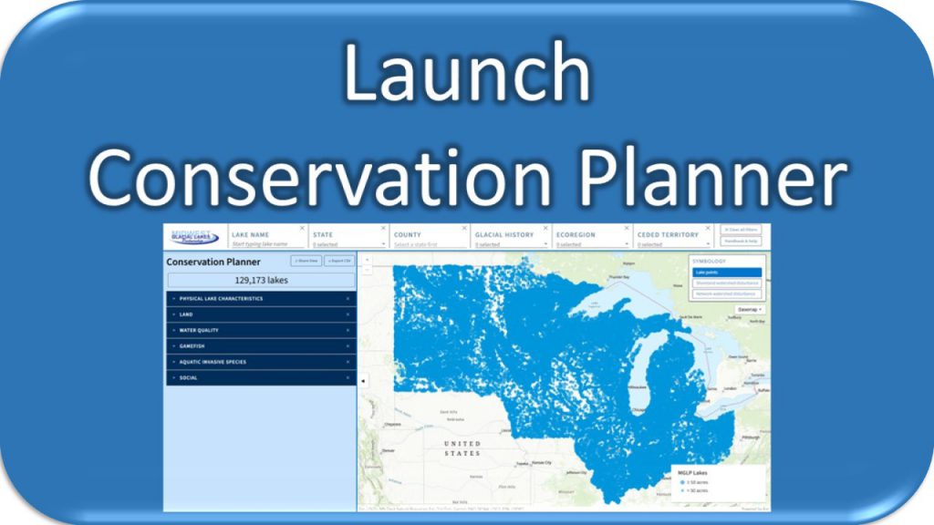
Suggested uses
The Conservation Planner should complement local sources of data that may be more complete or accurate for your lake. We recommend that you explore the Conservation Planner to learn more about your lake, and then take that information to consult with agency biologists to build a conservation plan that works for your lake. The Conservation Planner has two components, the Lake Viewer and the Lake Report.
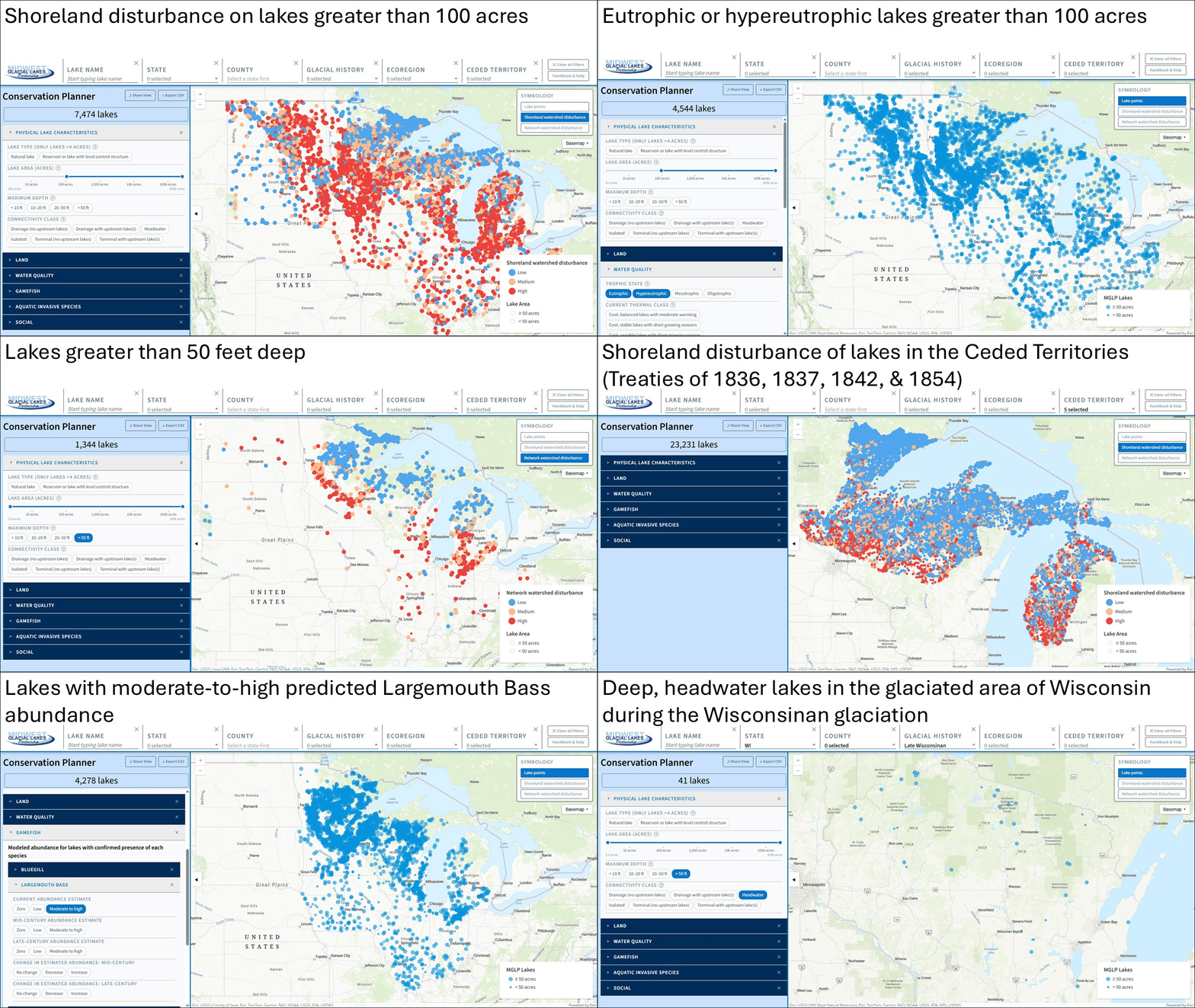
Lake Viewer
The Lake Viewer function of the planner provides a basis for comparing lakes and understanding trends across the landscape. Users can select and compare lakes that share characteristics from a list of over 75 variables, such as state, county, lake size, maximum depth, shoreland development, watershed development, nutrient levels, thermal class, modeled changes in abundance of gamefish species due to climate change, non-native species presence, the presence of boat ramps, and more.
Lake Report
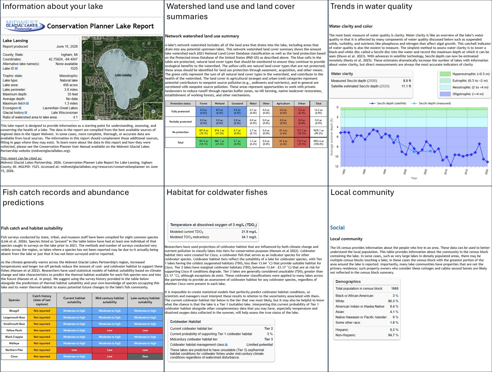
The Lake Report function is designed to provide information as a starting point for understanding, assessing, and conserving the health of an individual lake. Click on a lake and hit “Generate lake report” to see a customized 30-page document describing the lake, with a host of additional data such as time series of water quality data, maps of watershed land use and land cover, and more. Users can save the report or export the maps within it to print or share with others.
Citation
The Conservation Planner can be cited as: Midwest Glacial Lakes Partnership. 2026. Conservation Planner. Accessed at: midwestglaciallakes.org/resources/conservationplanner on [DATE].
Individual datasets provided through the Conservation Planner should be cited based upon the original source, which is available in the description of variables provided below.
Data
The Conservation Planner is built upon the best available regional and national datasets for lake-relevant information. Below are links with information about each variable in the Conservation Planner and links to download data for all lakes in the tool. Users can also generate a custom list of lakes meeting the user’s criteria in the Conservation Planner, and then export the data for that subset of lakes. Questions regarding the data should be directed to MGLP Coordinator Joe Nohner.
- Data descriptions: Description of variables in the Conservation Planner and associated datasets.
- Export reduced dataset as CSV: A shorter list of approximately 115 variables available through the Lake Viewer.
- Export full dataset as CSV: Download the complete raw dataset for all lakes, including every field available in the Lake Report or Lake Viewer.
- Export time series data as Excel file: Download the time series data from the Lake Report for all lakes.
- Shapefiles used to create the GIS maps, such as lake shoreland buffers, lake watersheds, points for each lake in the MGLP database, and more are available upon request from MGLP Coordinator Joe Nohner.
Take Action!
Are you motivated to take action? Start by contacting lake professionals in your state, available on the Resources for Conservation page. On this page you can also find similar data tools at the state and regional level to learn more about your lake.
Frequently Asked Questions
I know that additional data exist for my lake (e.g., citizen science data, recent fisheries surveys), why are they not included?
The Conservation Planner 2.0 is built upon a compilation of numerous datasets across the region, many of which have their own policies for what data they include, how often data are updated, etc. Unfortunately, we don’t have the capacity to include many state- and local-scale datasets individually, despite their value. Recognizing that these data do exist, we recommend using the Conservation Planner 2.0 to complement your existing information, not replace it.